Indore Controversy over map Pakistan Bangladesh others shown as part of India
- Saturday | 12th June, 2021
Vote for BJP in urban local bodies" poll for "triple engine" govt in UP: Adityanath
UP: Man booked for attempting to rape 5-year-old girl
Congress to mark 100 days of Bharat Jodo Yatra with concert in Jaipur
BJYM, Hindu outfits put off planned protest march at AMU
Karachi battles gas crisis; residents face unannounced load shedding, 2-hr gas supply in a day
Elderly man in judicial custody dies during treatment in UP hospital
Himachal Pradesh skittle Haryana for 46, take 200-run lead on Day 1
Pak court grants protective bail to PM Shehbaz"s son Suleman in money laundering case
British Library celebrates India ties with exhibition on Hampi
Nine policemen suspended after suspect dies in police custody in UP
Gangster"s property attached in UP"s Pratapgarh district
Maoists torch construction company vehicles in Jharkhand’s Chatra district
Sino-India border situation "generally stable": China on Yangtse clash
Babar Azam not taking advice from seniors, claims Shahid Afridi
Qlite Global launches their exclusive Grand Experience Centre
"Disillusioned with central leadership": Sikkim BJP president says he has resigned
2001 attack anniversary: Ready to guard new Parliament if directed, say CRPF heroes
Class 2 student dies after scuffle with fellow students in UP
Three killed in accident in UP"s Lakhimpur KheriLakhimpur Kheri (UP), Dec 13 (PTI) Three motorcycle borne youths were killed and "
Abandoned girl child from Assam adopted by Spanish professor
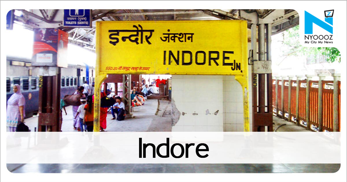
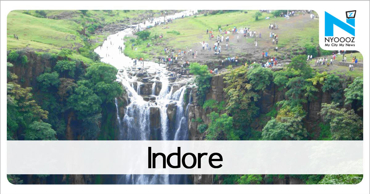
Indore (Madhya Pradesh): A controversy has erupted over a map installed in Indore's Footi Kothi area in which countries like Pakistan Bangladesh Sri Lanka and Afghanistan are shown as part of India. Congress has raised objections to the map installed by the Indore Municipal Corporation. In that order Afghanistan Pakistan Myanmar Bhutan Nepal Burma Bangladesh Sri Lanka have been shown as a part of united India. Meanwhile BJP MP Shankar Lalwani said that when India was united all these countries were on the map. Sandeep Soni Additional Commissioner Indore Municipal Corporation said "This map is almost two years old.
Your support to NYOOOZ will help us to continue create and publish news for and from smaller cities, which also need equal voice as much as citizens living in bigger cities have through mainstream media organizations.
Stay updated with all the Latest Indore headlines here. For more exclusive & live news updates from all around India, stay connected with NYOOOZ.