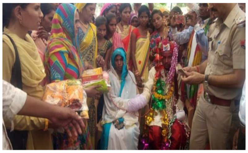
The police staff at this police station raise funds for orphan girl’s wedding
- Saturday | 25th May, 2019
Vote for BJP in urban local bodies" poll for "triple engine" govt in UP: Adityanath
UP: Man booked for attempting to rape 5-year-old girl
Congress to mark 100 days of Bharat Jodo Yatra with concert in Jaipur
BJYM, Hindu outfits put off planned protest march at AMU
Karachi battles gas crisis; residents face unannounced load shedding, 2-hr gas supply in a day
Elderly man in judicial custody dies during treatment in UP hospital
Himachal Pradesh skittle Haryana for 46, take 200-run lead on Day 1
Pak court grants protective bail to PM Shehbaz"s son Suleman in money laundering case
British Library celebrates India ties with exhibition on Hampi
Nine policemen suspended after suspect dies in police custody in UP
Gangster"s property attached in UP"s Pratapgarh district
Maoists torch construction company vehicles in Jharkhand’s Chatra district
Sino-India border situation "generally stable": China on Yangtse clash
Babar Azam not taking advice from seniors, claims Shahid Afridi
Qlite Global launches their exclusive Grand Experience Centre
"Disillusioned with central leadership": Sikkim BJP president says he has resigned
2001 attack anniversary: Ready to guard new Parliament if directed, say CRPF heroes
Class 2 student dies after scuffle with fellow students in UP
Three killed in accident in UP"s Lakhimpur KheriLakhimpur Kheri (UP), Dec 13 (PTI) Three motorcycle borne youths were killed and "
Abandoned girl child from Assam adopted by Spanish professor
This case has brought to light the method used by the officials to issue mining licenses in prohibited areas. When issuing licenses, officials study the contour maps of Geological Survey of India, for a particular stretch. “Manipulation of data and reports is one of the ways for issuing licenses for illegal mining. JAIPUR: Manipulation in heights of the hills in Aravalli range and violation of the guidelines, appears to be the modus operandi followed by officials to lease out rights for illegal mining. The average of the base and highest contours is taken, which must be within 100 metres for mining to be authorised there.ACB officials claim that this is where some of the officials, who are hand-in-glove with the mining mafia, manipulate the guidelines as well as the data.
Your support to NYOOOZ will help us to continue create and publish news for and from smaller cities, which also need equal voice as much as citizens living in bigger cities have through mainstream media organizations.
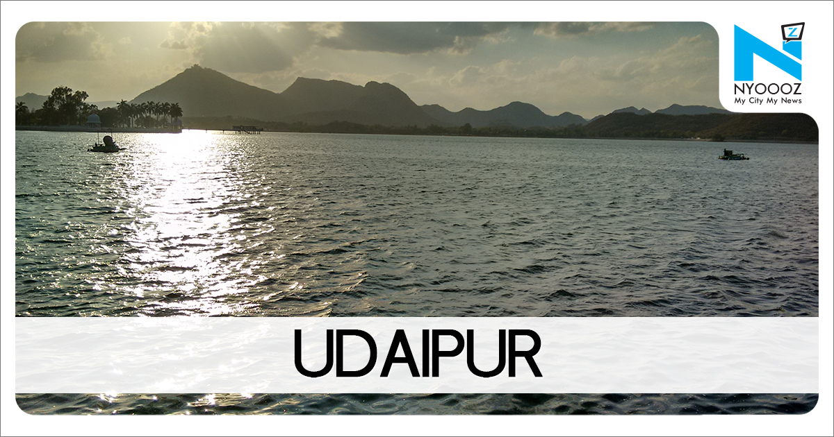
Stay updated with all the Latest Udaipur headlines here. For more exclusive & live news updates from all around India, stay connected with NYOOOZ.