After Kerala AP has 2nd largest flood hazard area followed by T

  • | Tuesday | 21st August, 2018

Still, we have prepared a state-level disaster management plan following the guidelines of the National Disaster Management Authority. “The Kerala floods are unprecedented and due to heavy rainfall and the floods situation, huge destruction occurred. In South India, after Kerala , the state of Andhra Pradesh has the second largest area that is vulnerable to floods followed by Telangana at third place. In Telangana, the Bhadrachalam area is highly prone to floods. We have already successfully implemented a heat wave action plan during last summer due to which deaths came down.”

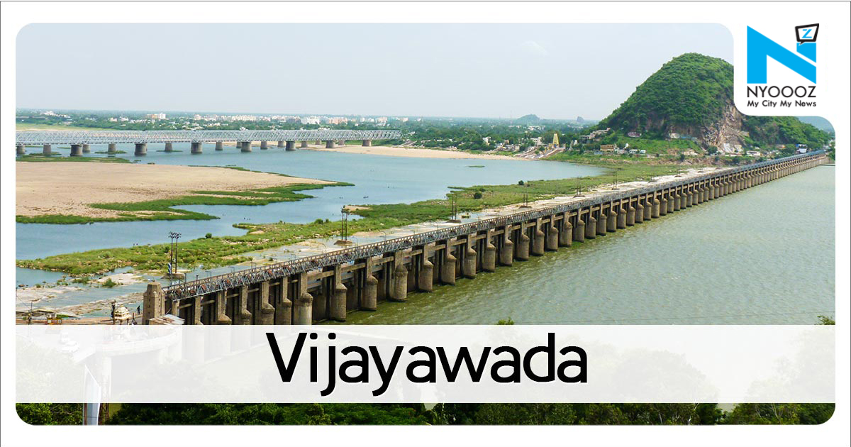
In South India, after Kerala , the state of Andhra Pradesh has the second largest area that is vulnerable to floods followed by Telangana at third place. This was the finding of the Flood Hazard Map prepared by the National Disaster Management Authority.While the entire Kerala coast is marked as a vulnerable flood zone, the districts of Krishna, Guntur, West and East Godavari along with its cities and towns like Vijayawada, Guntur, Eluru, Machilipatnam, Bhimavaram, Rajahmundry, Kakinada and parts of Nellore on the east coast and Proddutur in Kadapa have been marked as ‘Area Liable for Floods in the Flood Hazard’ map issued by NDMA. In Telangana, the Godavari basin area of North Telangana, particularly Bhadradri Kottagudem, Adilabad and parts of Nizamabad district have been marked as a flood hazard area.In united Andhra Pradesh, including Telangana, 13.9 lakh hectares of area was deemed as being vulnerable to floods while the area designated similarly for Kerala was 8.7 lakh hectares. For Tamil Nadu, it was 4.5 lakh hectares while it was 0.2 lakh hectares for Karnataka.Engineering Staff College of India water resources development division senior faculty B Leela Prasada Rao explained the unprecedented floods in Kerala. “The Kerala floods are unprecedented and due to heavy rainfall and the floods situation, huge destruction occurred. In Telangana, the Bhadrachalam area is highly prone to floods. Therefore, the official machinery should do mapping and be ready to tackle the inevitable floods. The Srisailam floods in 2009 wherein Kurnool town was flooded is a good case study. The Probable Maximum Floods that occur once in some 5,000 to 10,000 years should be calculated in all these areas,” Prasada Rao told TOI.Telangana, which was bifurcated from Andhra Pradesh, has prepared a Disaster Management Plan and is all set to release the same soon.Telangana Disaster Management Authority commissioner RV Chandravadan told TOI, “Telangana government is fully geared up to tackle any disastrous flood. NDRF teams have been deployed in Bhadrachalam and Adilabad. We have mapped all vulnerable areas. Apart from NDRF, district teams and local police have been trained in rescue and relief.”Regarding long-term strategies, Chandravadan said, “Except for flash floods in some areas, most of Telangana is drought-prone. When compared to neighbouring AP, our vulnerability is less. Still, we have prepared a state-level disaster management plan following the guidelines of the National Disaster Management Authority. We will release the state-specific plan shortly. We have already successfully implemented a heat wave action plan during last summer due to which deaths came down.”

If You Like This Story, Support NYOOOZ

NYOOOZ SUPPORTER

NYOOOZ FRIEND

Your support to NYOOOZ will help us to continue create and publish news for and from smaller cities, which also need equal voice as much as citizens living in bigger cities have through mainstream media organizations.


Stay updated with all the Latest Vijayawada headlines here. For more exclusive & live news updates from all around India, stay connected with NYOOOZ.

Related Articles